Service
Aerial, multispectral and NDVI mapping to see your paddocks clearly and plan application.
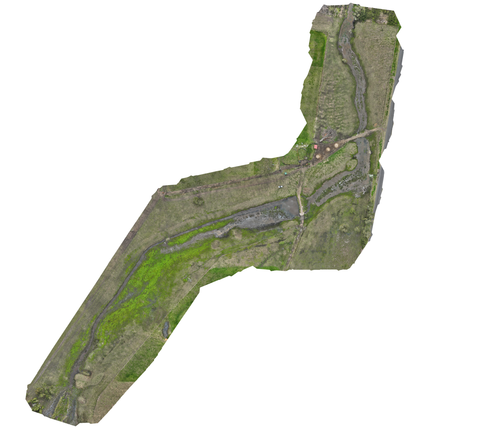
See your paddocks clearly before you spend on inputs. High-resolution aerial imagery and multispectral crop-health mapping show variability and problem areas across the property — so you can plan and target application instead of blanket-treating.
The same operator who flies your application can map it first, so what we see in the data flows straight into how we treat it.
✓Multispectral & NDVI crop-health mapping
✓High-resolution paddock and property mapping
✓Data to plan and target treatment
✓See problem areas before you spray
We map with a dedicated DJI Mavic 3M multispectral drone, which captures near-infrared and red-edge bands alongside standard colour. That's the basis for real crop-health indices like NDVI — showing stress, variability and problem areas the eye can't see, not just a nice picture from above.
Orthomosaic property and paddock maps, multispectral and NDVI crop-health maps, and the data to plan and target treatment — see the problem areas before you spray.
Mapping isn't the end point — it feeds straight into spot spraying and variable treatment, so you put product where it's needed and nowhere else.
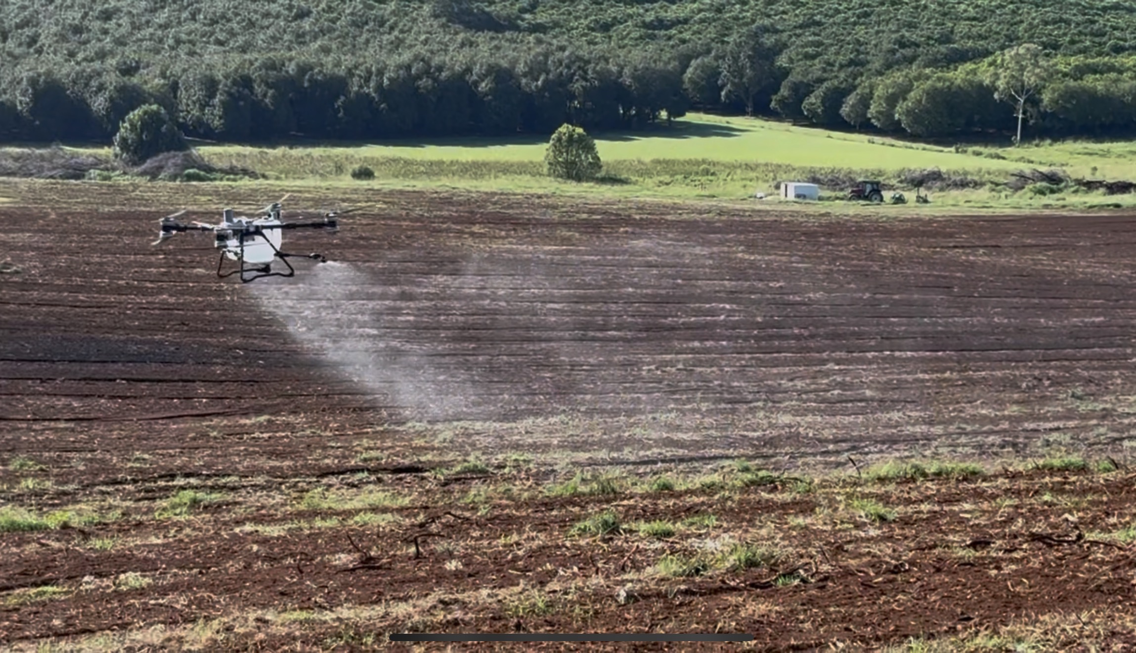
CASA ReOC 9407 · NSW EPA-licensed · fully insured · DJI Agras T50 & T100 · Mavic 3M multispectral. Approved supplier to Rous County Council & Lismore City Council.
Other services
Or email info@allflight.com.au · Airport Drive, South Lismore NSW